![]()
Land changes in coastal Louisiana. (Courtesy of the US Geological Survey.)
1
Louisiana: The Laws, the Land, and the People
Louisiana’s land loss rate is startling. The state loses an area the size of a football field every half hour, and nearly 80 percent of the nation’s coastal land loss occurs in Louisiana. The United States Geological Survey (USGS) states, “Coastal Louisiana has lost an average of 34 square miles of land, primarily marsh, per year for the last 50 years … If nothing is done to stop this land loss, Louisiana could potentially lose approximately 700 square miles of land, or about equal to the size of the greater Washington D.C.–Baltimore area, in the next 50 years.”
Hurricane storm surge and seawater intrusion have disrupted and displaced many of Louisiana’s coastal cemeteries, a number of which are already permanently inundated, are very near to being submersed, or have been completely lost due to erosion.
The number of hurricanes to strike Louisiana has been substantial. Fifty-four hurricanes directly impacted the state from 1851 through 2015. Maps showing the paths of all tropical storms and hurricanes from the same time frame are so dense with pathlines, that one can hardly recognize the outline of the state. Of the 138 cemeteries mapped during this project, nearly all were inundated by Hurricane Ike’s storm surge in 2012. (See appendixes 1 and 3.)
Legally, the state’s coastal zone is a scientifically derived geopolitical boundary, meaning that both science and politics drive where the boundary line is set. According to the Louisiana Coastal Zone Management Act, this federally designated zone “extends inland from the shoreline only to the extent necessary to control shore lands, the uses of which have a direct and significant impact on the coastal waters, and to control those geographical areas which are likely to be affected or vulnerable to sea level rise.”
Louisiana is the only state in the nation whose civil divisions are called parishes instead of counties. Founded by French and Spanish colonists, the state was largely Roman Catholic, and local governing bodies were often closely tied to neighboring Catholic parishes. In 1807, the Louisiana legislature adopted the ecclesiastical term “parish” to define its civil government boundaries, and the term is still used today.
Twenty of Louisiana’s sixty-four parishes have been designated as being within the “coastal zone.” They are Ascension, Assumption, Calcasieu, Cameron, Iberia, Jefferson, Lafourche, Livingston, Orleans, Plaquemines, St. Bernard, St. Charles, St. James, St. John the Baptist, St. Martin, St. Mary, St. Tammany, Tangipahoa, Terrebonne, and Vermilion.
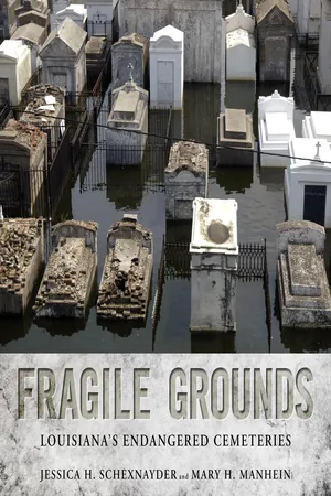
Aerial views of New Orleans cemeteries flooded after Hurricane Katrina. (Courtesy of FEMA/Liz Roll.)
Map of tropical systems crossing Louisiana 1851–2015.
Louisiana’s coastal zone boundary was modified in 2012 by the Louisiana legislature. No new parishes were added or removed, but additional land was added in eight parishes, increasing the size of the coastal zone.
Louisiana’s coastal zone boundary. Parishes included in the zone are outlined in yellow.
What initially began as an effort to capture global positioning system (GPS) point data for the state’s coastal zone cemetery boundaries quickly turned into a race against time to also document cemeteries that might be at risk for other reasons.
Since it is vulnerable to tropical storms, hurricanes, and associated flooding, multiple cemeteries from New Orleans were selected for inclusion in the research to represent its wide variety of burial customs. While some New Orleans cemeteries were chosen because of endangerment through natural forces, others were selected because they had been destroyed in the past under various circumstances. In more rural areas, certain cemeteries were selected due to their proximity to inland bodies of water that could impact their future. Others were chosen due to perceived or real neglect.
More than five hundred cemeteries are known to be present in Louisiana’s coastal zone; others exist. Those included in this research were chosen through site information gained through the Louisiana Cemetery Board, La-Cemeteries.com, USGS data, and by word-of-mouth. Criteria for inclusion in this volume were based on geographic location as well as recent and past impact from coastal storms, flooding, urban changes, and loss of community.
Though a number of groups have previously recorded GPS coordinates for many of the state’s cemeteries, most of the coordinates are single-point locations, with no standardization of where the point was taken. We deployed a method of recording the outer perimeter points for each cemetery surveyed, allowing the total land area for that l_°uisiana is divided int° sixty-four cemetery to be represented rather than a few random points. This method allowed the entire shape of the cemetery to be captured, which will be of future geographic and historical value once the land is eroded or under water. The GPS points will always be there, even when the land is gone.
Louisiana is divided into sixty-four civil divisions called parishes. Parish: French—Paroisse; Spanish—Parroquia.
Originally, capturing the actual size of the cemeteries was important, but we soon learned that the cultural dynamics of the various regions could not be ignored. Louisiana is a state vibrant in cultural and ethnic diversity, boasting a rich heritage of Native American, French, Spanish, Cajun, African, German, Isleños, Vietnamese, Portuguese, Chinese, Irish, and English peoples, to name only a few (see appendix 2).
As Louisiana’s residents are forced to migrate inland in response to coastal dynamics, many cemeteries are left abandoned and often overlooked as part of the cultural landscape. As cities grow outward, urban sprawl begins to take over the lands. Cemeteries are then lost to growing communities and forces such as urban expansion and eminent domain. Under Louisiana law, the living take precedence over the dead.
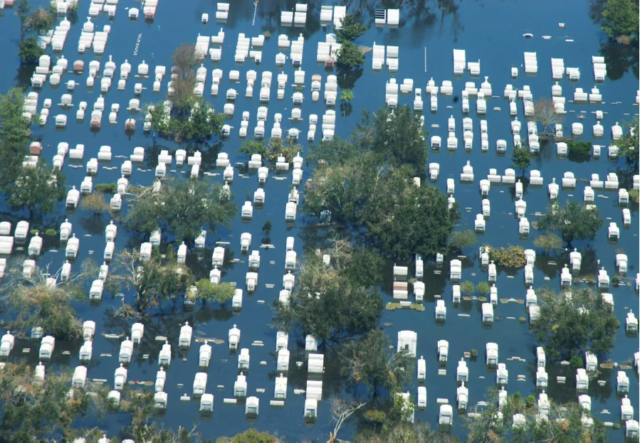
GPS perimeter points collected at Denham Springs Memorial Cemetery in Livingston Parish.
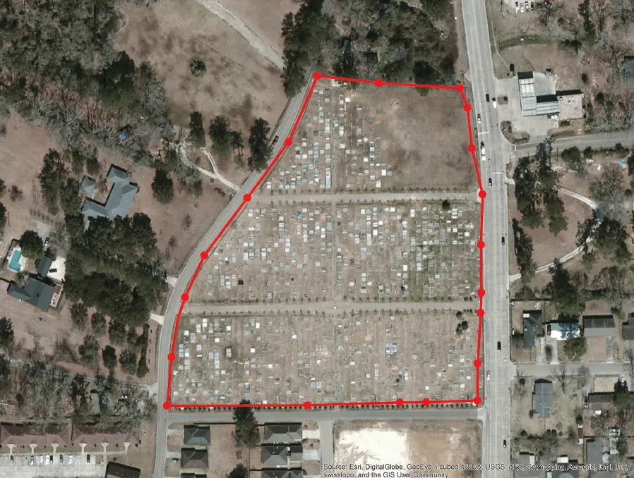
GPS perimeter points collected at Chénière Caminada Cemetery in Jefferson Parish.
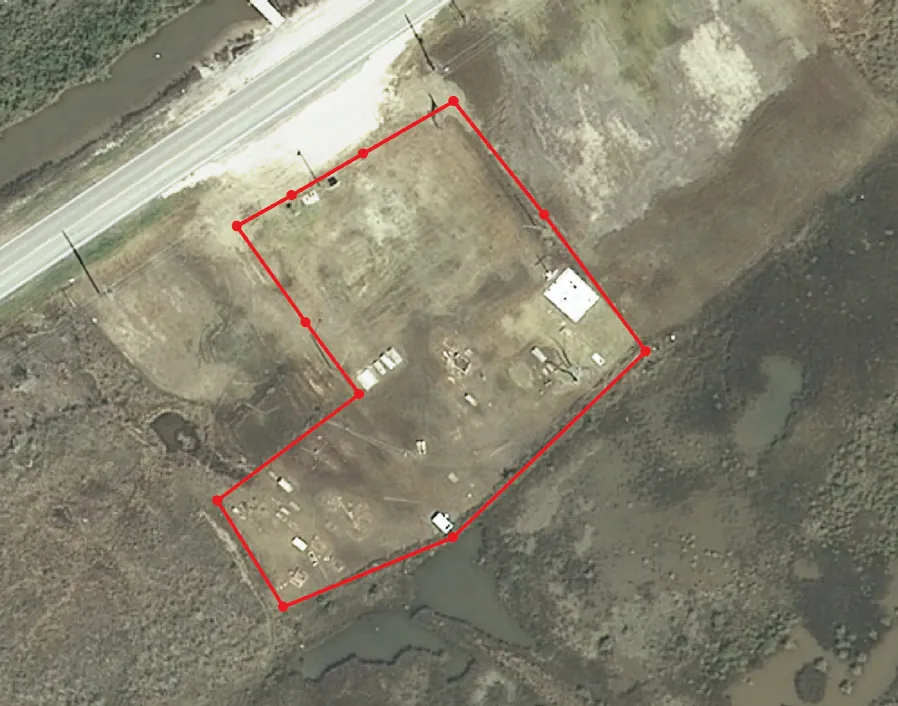
GPS points were collected around the perimeter of each cemetery using existing borders such as fences, walls, or lines of graves as guidelines. Cemeteries may often be larger than they appear.
Though the living do take precedence over the dead, Louisiana’s cemeteries and the human remains therein are protected to some degree by laws which address such things as grave disturbance, vandalism, monument theft, and other forms of looting. In 1991, a law was passed to protect all unmarked gravesites and artifacts in Louisiana. Referred to as the Louisiana Unmarked Human Burial Sites Preservation Act of 1992, the law provides that an unmarked human grave cannot be disturbed, and if one is found accidentally, proper authorities must be informed. Special permits for removal of remains in such a case are required through the State Division of Archaeology. This law does not cover activities in a municipal or religious cemetery. Prior to that law, in 1974, the Louisiana state legislature created the Louisiana Cemetery Board. This board regulates the cemetery industry and provides assistance for concerns associated with Louisiana’s cemeteries. The board is regulated through the office of the Louisiana attorney general.
Jessica Schexnayder collecting GPS point data at Elpege Picou Cemetery, a European cemetery located on top of a Native American shell midden in Terrebonne Parish. (Courtesy of Mary H. Manhein.)
A lone and crumbling grave, its inscription long weathered away, is partially hidden by clumps of Louisiana irises and cattails. Mt. Zion Methodist Church, Freetown.
The resiliency of Louisiana’s coastal peoples is noteworthy. With the exception of American Indians and religious gr...