- English
- PDF
- Available on iOS & Android
Airborne and satellite remote sensors for precision agriculture
About This Book
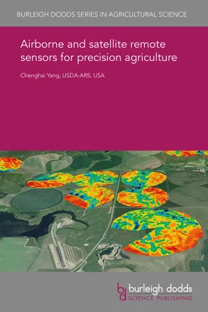
Remote sensing provides an important source of information to characterize soil and crop variability for both within-season and after-season management despite the availability of numerous ground-based soil and crop sensors. Remote sensing applications in precision agriculture have been steadily increasing in the last two decades due to improvements in spatial, spectral and temporal resolutions of airborne and satellite remote sensors. This chapter will provide an overview of manned aircraft–based airborne imaging systems and high-resolution satellite remote sensors that have been used for precision agriculture. Numerous airborne multispectral and hyperspectral imaging systems and high-resolution satellite sensors are discussed, and application examples are provided to illustrate how remote sensing imagery has been used in precision agricultural applications. Some challenges and future trends on the use of airborne and high-resolution satellite sensors for precision agriculture are discussed.
Frequently asked questions
Information
Table of contents
- 1 Introduction
- 2 Airborne imaging systems: overview and multispectral systems based on industrial cameras
- 3 Airborne imaging systems: multispectral systems based on consumer-grade cameras
- 4 Airborne imaging systems: hyperspectral sensors
- 5 Airborne imaging systems: application examples
- 6 High-resolution satellite sensors: overview and varieties
- 7 High-resolution satellite sensors: application examples
- 8 Challenges and future trends
- 9 Summary
- 10 Where to look for further information
- 11 Disclaimer
- 12 References