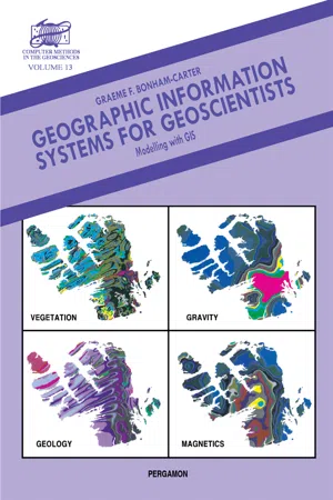
Geographic Information Systems for Geoscientists
Modelling with GIS
- 416 pages
- English
- PDF
- Available on iOS & Android
About This Book
Geographic Information Systems for Geoscientists: Modelling with GIS provides an introduction to the ideas and practice of GIS to students and professionals from a variety of geoscience backgrounds. The emphasis in the book is to show how spatial data from various sources (principally paper maps, digital images and tabular data from point samples) can be captured in a GIS database, manipulated, and transformed to extract particular features in the data, and combined together to produce new derived maps, that are useful for decision-making and for understanding spatial interrelationship. The book begins by defining the meaning, purpose, and functions of GIS. It then illustrates a typical GIS application. Subsequent chapters discuss methods for organizing spatial data in a GIS; data input and data visualization; transformation of spatial data from one data structure to another; and the combination, analysis, and modeling of maps in both raster and vector formats. This book is intended as both a textbook for a course on GIS, and also for those professional geoscientists who wish to understand something about the subject. Readers with a mathematical bent will get more out of the later chapters, but relatively non-numerate individuals will understand the general purpose and approach, and will be able to apply methods of map modeling to clearly-defined problems.
Frequently asked questions
Information
Table of contents
- Front Cover
- Geographic Information Systems for Geoscientists: Modelling with GIS
- Copyright Page
- Table of Contents
- Series Editor's Foreword
- Preface
- CHAPTER 1. Introduction to GIS
- CHAPTER 2. Spatial Data Models
- CHAPTER 3. Spatial Data Structures
- CHAPTER 4. Spatial Data Input
- Chapter 5. Visualization and Query of Spatial Data
- CHAPTER 6. Spatial Data Transformations
- CHAPTER 7. Tools for Map Analysis: Single Maps
- CHAPTER 8. Tools for Map Analysis: Map Pairs
- CHAPTER 9. Tools for Map Analysis: Multiple Maps
- APPENDIX I. Syntax for Modelling Pseudocode
- APPENDIX II. Fortran Program for Calculating Weights of Evidence
- APPENDIX III. Glossary of GIS Terms
- APPENDIX IV. GIS Acronyms
- Index