Image Processing and GIS for Remote Sensing
eBook - ePub

Image Processing and GIS for Remote Sensing

Techniques and Applications

  1. English
  2. ePUB (mobile friendly)
  3. Available on iOS & Android
eBook - ePub

Image Processing and GIS for Remote Sensing

Techniques and Applications

Book details
Book preview
Table of contents
Citations

About This Book

Following the successful publication of the 1st edition in 2009, the 2nd edition maintains its aim to provide an application-driven package of essential techniques in image processing and GIS, together with case studies for demonstration and guidance in remote sensing applications. The book therefore has a "3 in 1" structure which pinpoints the intersection between these three individual disciplines and successfully draws them together in a balanced and comprehensive manner.

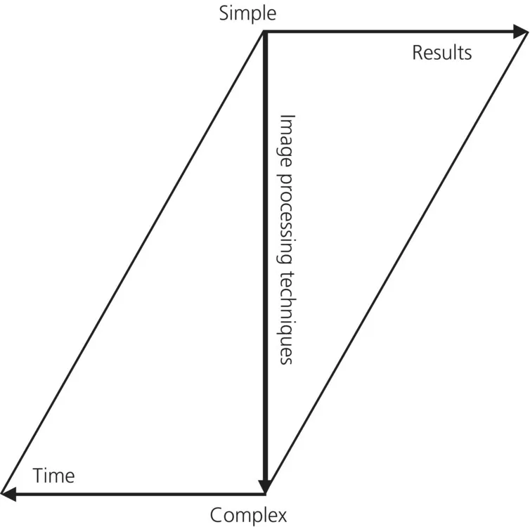
The book conveys in-depth knowledge of image processing and GIS techniques in an accessible and comprehensive manner, with clear explanations and conceptual illustrations used throughout to enhance student learning. The understanding of key concepts is always emphasised with minimal assumption of prior mathematical experience.

The book is heavily based on the authors' own research. Many of the author-designed image processing techniques are popular around the world. For instance, the SFIM technique has long been adopted by ASTRIUM for mass-production of their standard "Pan-sharpen" imagery data. The new edition also includes a completely new chapter on subpixel technology and new case studies, based on their recent research.

Frequently asked questions

Simply head over to the account section in settings and click on “Cancel Subscription” - it’s as simple as that. After you cancel, your membership will stay active for the remainder of the time you’ve paid for. Learn more here.
At the moment all of our mobile-responsive ePub books are available to download via the app. Most of our PDFs are also available to download and we're working on making the final remaining ones downloadable now. Learn more here.
Both plans give you full access to the library and all of Perlego’s features. The only differences are the price and subscription period: With the annual plan you’ll save around 30% compared to 12 months on the monthly plan.
We are an online textbook subscription service, where you can get access to an entire online library for less than the price of a single book per month. With over 1 million books across 1000+ topics, we’ve got you covered! Learn more here.
Look out for the read-aloud symbol on your next book to see if you can listen to it. The read-aloud tool reads text aloud for you, highlighting the text as it is being read. You can pause it, speed it up and slow it down. Learn more here.
Yes, you can access Image Processing and GIS for Remote Sensing by Jian Guo Liu, Philippa J. Mason in PDF and/or ePUB format, as well as other popular books in Technology & Engineering & Civil Engineering. We have over one million books available in our catalogue for you to explore.

Information

PART I
Image processing

This part covers the most essential image processing techniques for image visualisation, quantitative analysis and thematic information extraction for remote sensing applications. A series of chapters introduce topics with increasing complexity from basic visualisation algorithms, which can be easily used to improve your digital camera pictures, to more complicated multi-dimensional transform-based techniques.
Digital image processing can improve image visual quality, selectively enhance and highlight particular image features and classify, identify and extract spectral and spatial patterns representing different thematic information from images. It can also arbitrarily change image geometry and illumination conditions to give different views of the same image. Importantly, image processing cannot increase information from the original image data, although it can indeed optimise the visualisation for us to see more from the enhanced images than from the original.
For real applications our considered opinion, based on years of experience, is that simplicity is beautiful. Image processing does not follow the well-established physical law of energy conservation. As shown in Fig. P.1, often the results produced using very simple processing techniques in the first 10 minutes of your project may actually represent 90% of the job done! This should not encourage you to abandon this book after the first three chapters since it is the remaining 10% that you achieve during the 90% of your time that will serve the highest level objectives of your project. The key point is that thematic image processing should be application driven, whereas our learning is usually technique driven.
image
Fig. P.1 This simple diagram is to illustrate that the image processing result is not necessarily proportional to the time/effort spent. On the contrary, you may spend little time in achieving the most useful results and with simple techniques; on the other hand, you may spend a lot of time to achieve very little using complicated techniques.

CHAPTER 1
Digital image and display

1.1 What is a digital image?

An image is a picture, photograph or any form of a two-dimensional (2D) representation of objects or a scene. The information in an image is presented in tones or colours. A digital image is a two-dimensional array of numbers. Each cell of a digital image is called a pixel, and the number representing the brightness of the pixel is called a digital number (DN) (Fig. 1.1). As a 2D array, a digital image is composed of data in lines and columns. The position of a pixel is allocated with the line and column of its DN. Such regularly arranged data, without x and y coordinates, are usually called raster data. As digital images are nothing more than data arrays, mathematical operat...

Table of contents

  1. Cover
  2. Title Page
  3. Table of Contents
  4. Overview of the book
  5. PART I: Image processing
  6. PART II: Geographical information systems
  7. PART III: Remote sensing applications
  8. PART IV: Summary
  9. APPENDIX A: Imaging sensor systems and remote sensing satellites
  10. APPENDIX B: Online resources for information, software and data
  11. References
  12. Index
  13. End User License Agreement